
Coast
Coasts are dynamic boundaries between land and sea.

Syced · CC0
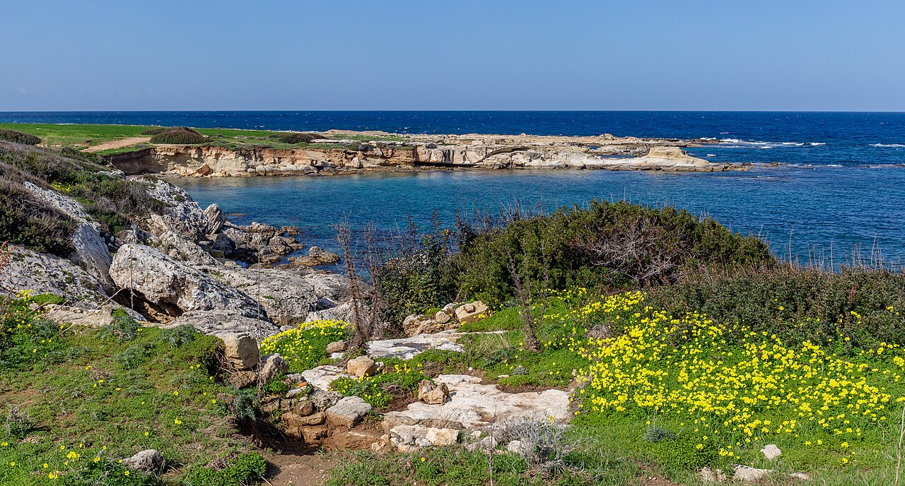
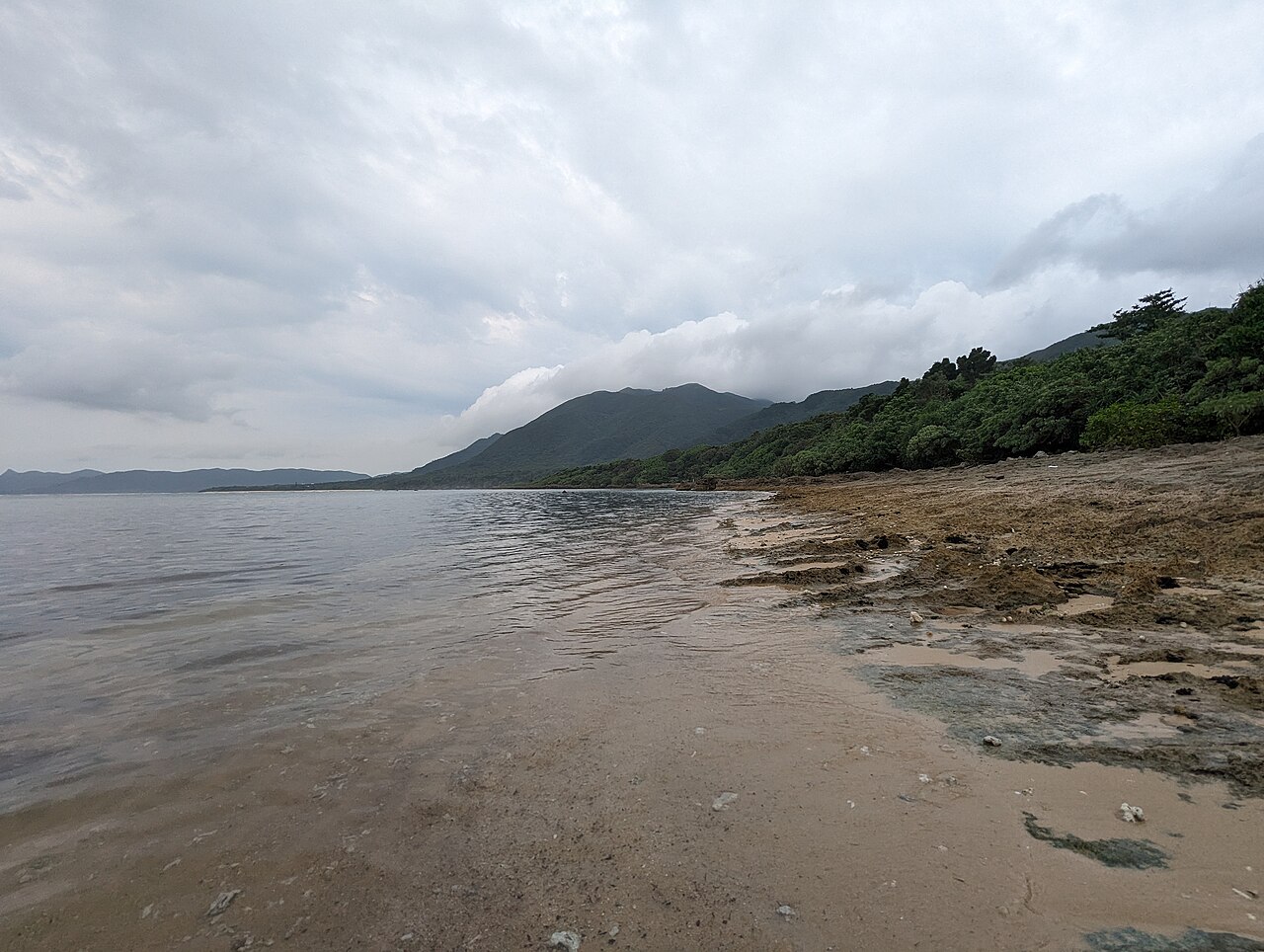
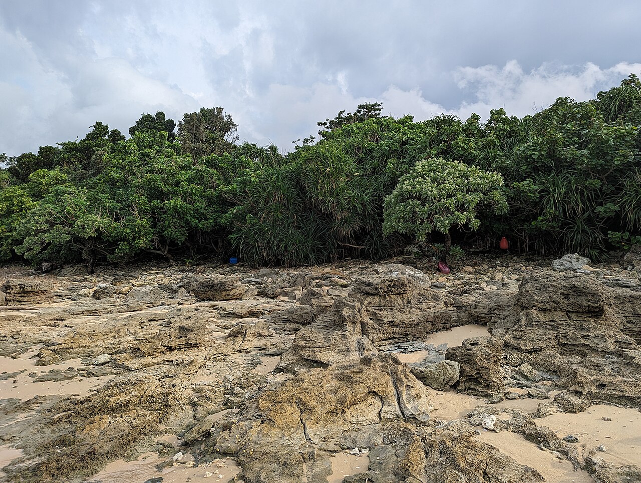
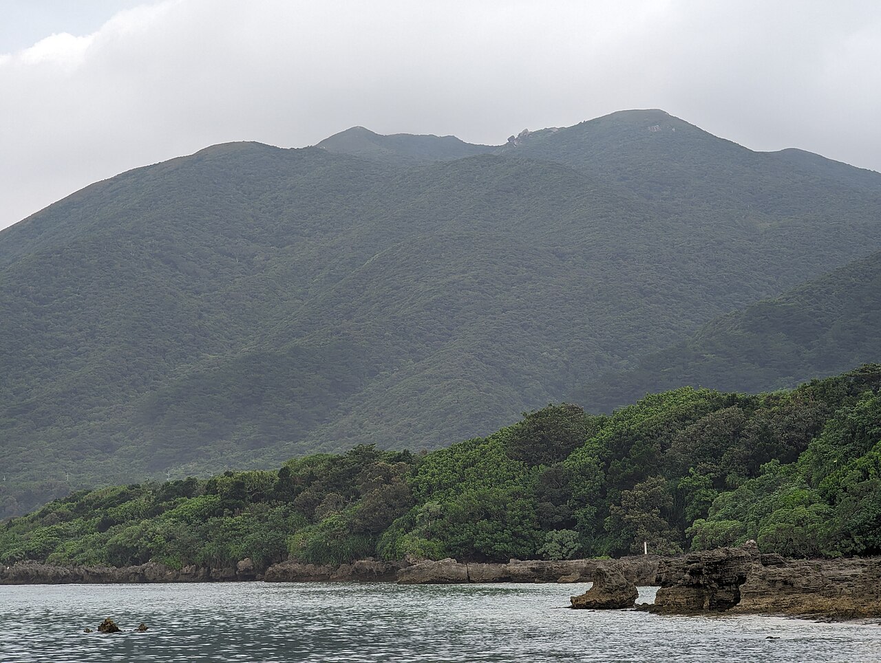
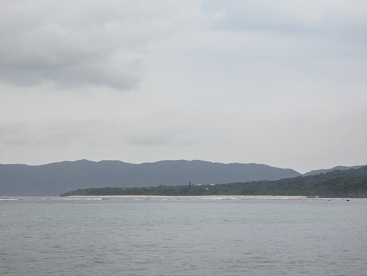
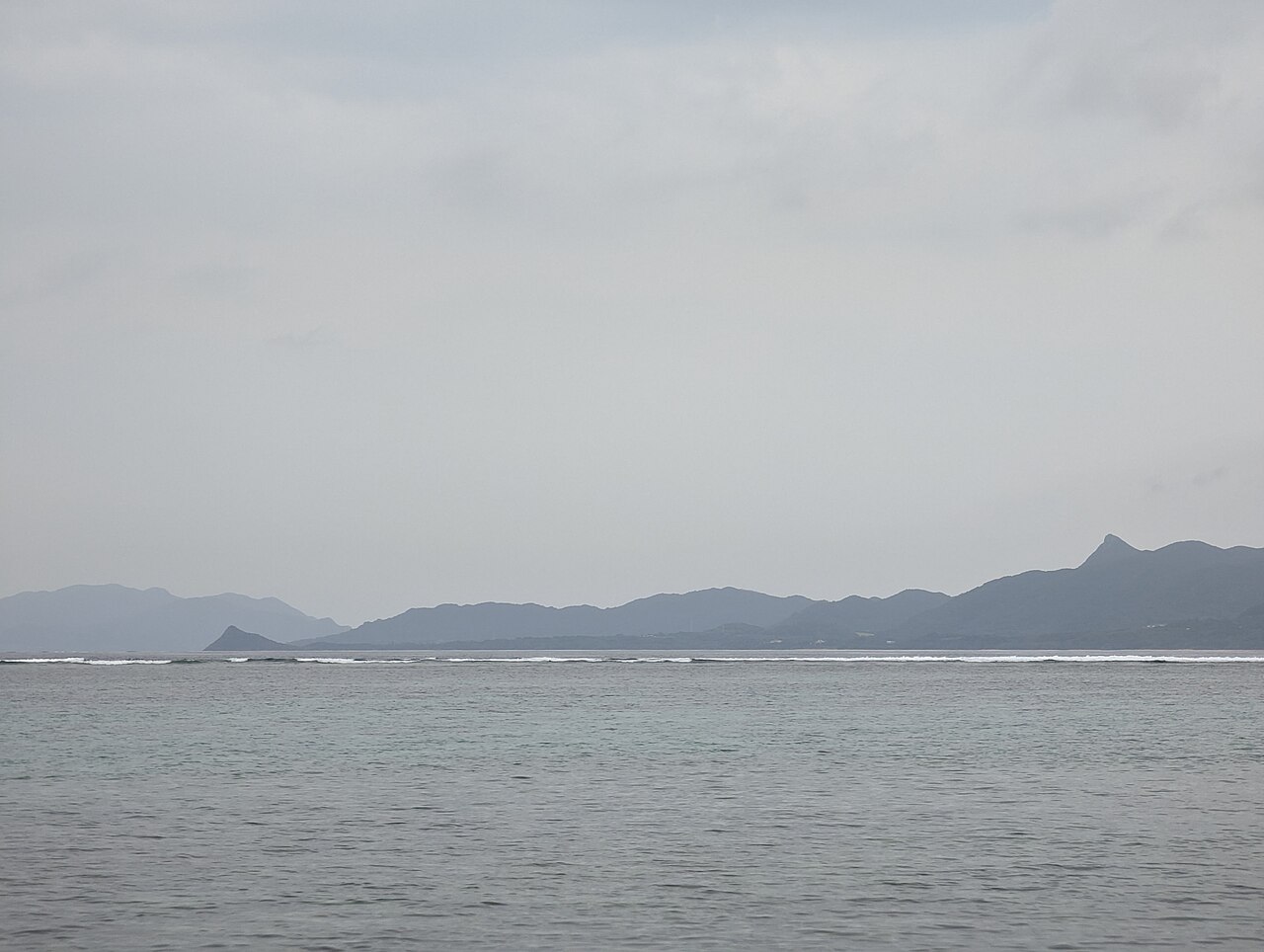
A coast, also called the coastline, shoreline, or seashore, is the land next to the sea or the line that forms the boundary between the land and the ocean or a lake. Coasts are influenced by the topography of the surrounding landscape and by aquatic erosion, such as that caused by waves. The geological composition of rock and soil dictates the type of shore that is created. Coasts are important zones in natural ecosystems, often home to a wide range of biodiversity, and they provide many ecosystem services to humankind.
- percentage_of_earth_oceans_covered_by_co
- about 7%
- percentage_of_commercially_harvested_fis
- at least 85%
Lore & Background
Coasts are shaped by tides, waves, and the geological composition of rock and soil. Tides determine the range over which sediment is deposited or eroded, and geologists classify coasts by tidal range into macrotidal (greater than 4 m), mesotidal (2 to 4 m), and microtidal (less than 2 m). Waves erode coastline as they break on shore, and sediment deposited by rivers is a dominant influence on coastlines with estuaries, though dams often block this sediment today. Coral reefs provide sediment for tropical island coastlines. The Earth's natural processes, including sea level rises, waves, and weather phenomena, result in erosion, accretion, and reshaping of coasts.
Reader's Guide
Coasts are critical to human society and natural ecosystems. Coastal fisheries, aquaculture, and tourism are major economic activities, and coastal ecosystems like mangroves and seagrasses have a high capacity for carbon sequestration, helping mitigate climate change. However, the economic importance of coasts makes communities vulnerable to climate change, which causes sea level rise, coastal erosion, saltwater intrusion, and flooding. Other issues include marine pollution, coastal development, and habitat destruction. The interactive effects of climate change, overfishing, and water pollution have led to the demise of coastal ecosystems globally, resulting in fishery stock collapse and loss of biodiversity.
Did You Know?
- At least 85% of commercially harvested fish depend on coastal environments during at least part of their life cycle.
- Coastal ecosystems like mangroves and seagrasses have a much higher capacity for carbon sequestration than many terrestrial ecosystems.
- The coastline's exact perimeter cannot be determined due to constant change, a measurement challenge called the coastline paradox.
A Place in the Broader Classification
Coastal and oceanic landforms occupy a defined position within a larger taxonomic framework for understanding Earth's surface features. Rather than standing alone, they are one entry in a system that organizes landforms according to characteristic physical attributes — the process that formed them, their overall shape, their elevation, the steepness of their slopes, their orientation, whether rock is exposed, and the type of soil present. Within the process-based grouping, coastal landforms sit alongside a dozen other categories, from aeolian features shaped by wind to cryogenic forms produced in cold environments, from fluvial features carved by flowing freshwater to impact structures left by the collision of astronomical objects. This means that a coastal feature is understood not in isolation but as part of a spectrum of Earth-surface phenomena, each defined by the dominant force responsible for its creation. The classification system thus provides a shared vocabulary for geomorphologists to discuss how different environments produce different surface expressions.
Process as the Defining Lens
The most fundamental way to understand coastal and oceanic landforms is through the lens of the natural process that brought them into existence. In this framework, landforms are grouped by their creating process, and coastal features form one distinct category among many. Wind-driven aeolian processes produce one set of forms; low-temperature cryogenic conditions produce another; flowing freshwater streams carve fluvial features; tectonic activity builds yet another class; and volcanic processes generate their own. Erosion and weathering, which typically operate in rocky or fluvial settings, create additional forms that sometimes overlap with other categories. Impact landforms, born from the collision of two astronomical objects, represent an entirely extraterrestrial mechanism. By placing coastal landforms in this comparative lineup, the classification highlights that the sea's interaction with the shore is just one of many powerful agents reshaping the planet's surface, and that understanding a coastal form requires recognizing which specific process dominated its formation.
Shape as an Alternative Organizing Principle
Beyond the process that creates a landform, its physical shape offers a second, complementary way to categorize it. In this shape-based system, landforms fall into three broad groups: positive landforms that rise above their surroundings, depressions that sink below them, and flat landforms that extend laterally without significant relief. A coastal feature might be classified under any of these depending on its geometry — a headland would be a positive form, a tidal flat a flat form, and a submerged basin a depression. This shape-based approach works alongside the process-based one, and both are supplemented by additional physical attributes such as elevation, slope angle, orientation, degree of rock exposure, and soil type. Together, these multiple axes of classification allow a single coastal landform to be described from several angles simultaneously, giving researchers a richer, more multidimensional picture than any single criterion could provide on its own.
The Wider Scientific Landscape
Coastal and oceanic landforms do not exist in a scientific vacuum; they are embedded in a broader ecosystem of related disciplines and reference works. Geomorphology, the dedicated scientific study of landforms, provides the overarching theoretical framework, while a glossary of geology supplies the precise terminology needed to describe features accurately. The topic of bodies of water connects directly to coastal classification, since the interaction between water and shore is central to the category. On the reference side, the Encyclopedia of Planetary Landforms, edited by Hargitai and Kereszturi and published by Springer, extends the discussion beyond Earth to planetary surfaces, suggesting that the same classification principles apply across worlds. Even specific regional examples, such as volcanic landforms in the Canary Islands documented with photographs, illustrate how broad categories manifest in particular places. This web of related fields and resources shows that coastal landforms are a node in a much larger network of Earth and planetary science.
Gallery
Frequently Asked Questions
What exactly is a Coast in geological terms?
A coast is the transitional zone where land meets the sea, ocean, or a large lake, also referred to as the shoreline or seashore. It is shaped by the surrounding topography, wave-driven erosion, and the underlying rock and soil composition, making each coastline geologically distinct.
Why do geologists consider Coasts dynamic rather than fixed features?
Coasts are constantly reshaped by wave action, tidal forces, and the gradual erosion of rock and sediment, so their exact position shifts over time. The type of shore that forms—cliff, sandy beach, or rocky outcrop—depends heavily on the geological makeup of the underlying material.
More in Geology And Landforms 1-17
Spotted an error? Know more?
This is a living reference — every entry is fact-audited, and reader corrections feed straight into our audit queue. Suggest an edit · See this site's audit record