
Canyon
Deep cleft formed by river erosion over geologic time.

Dietmar Rabich · CC BY-SA 4.0
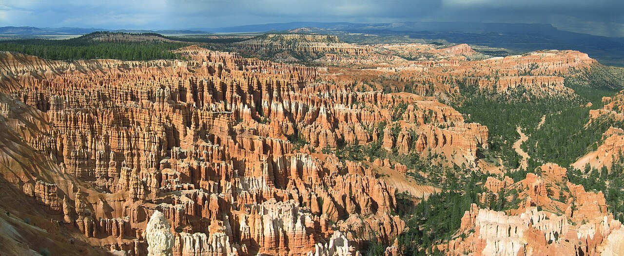
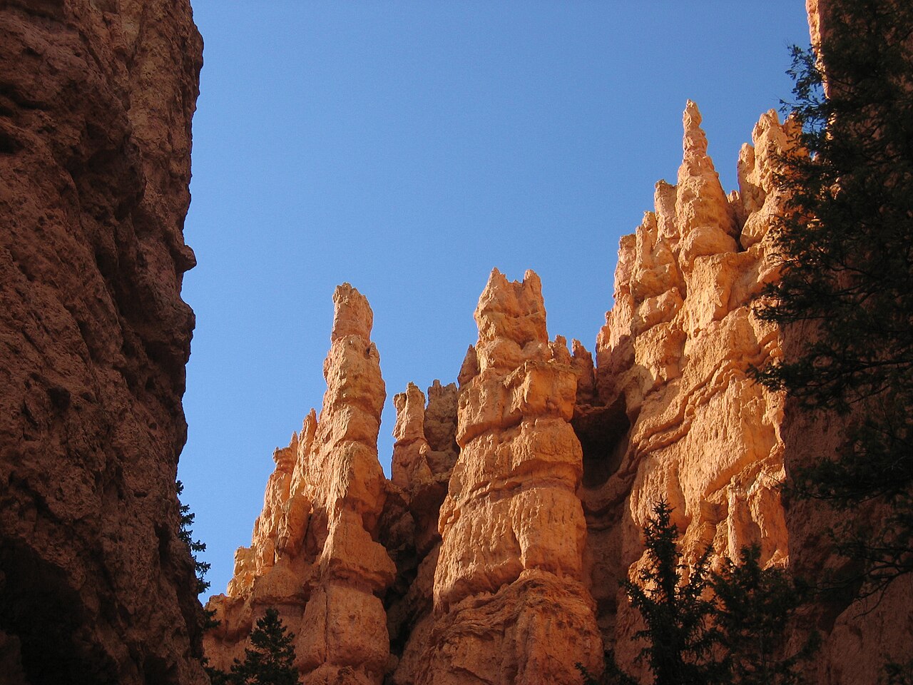
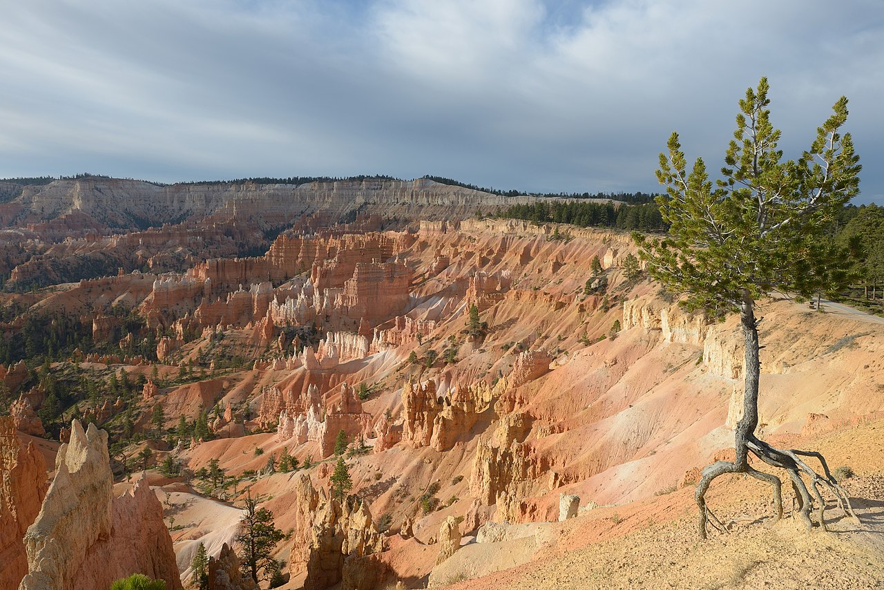
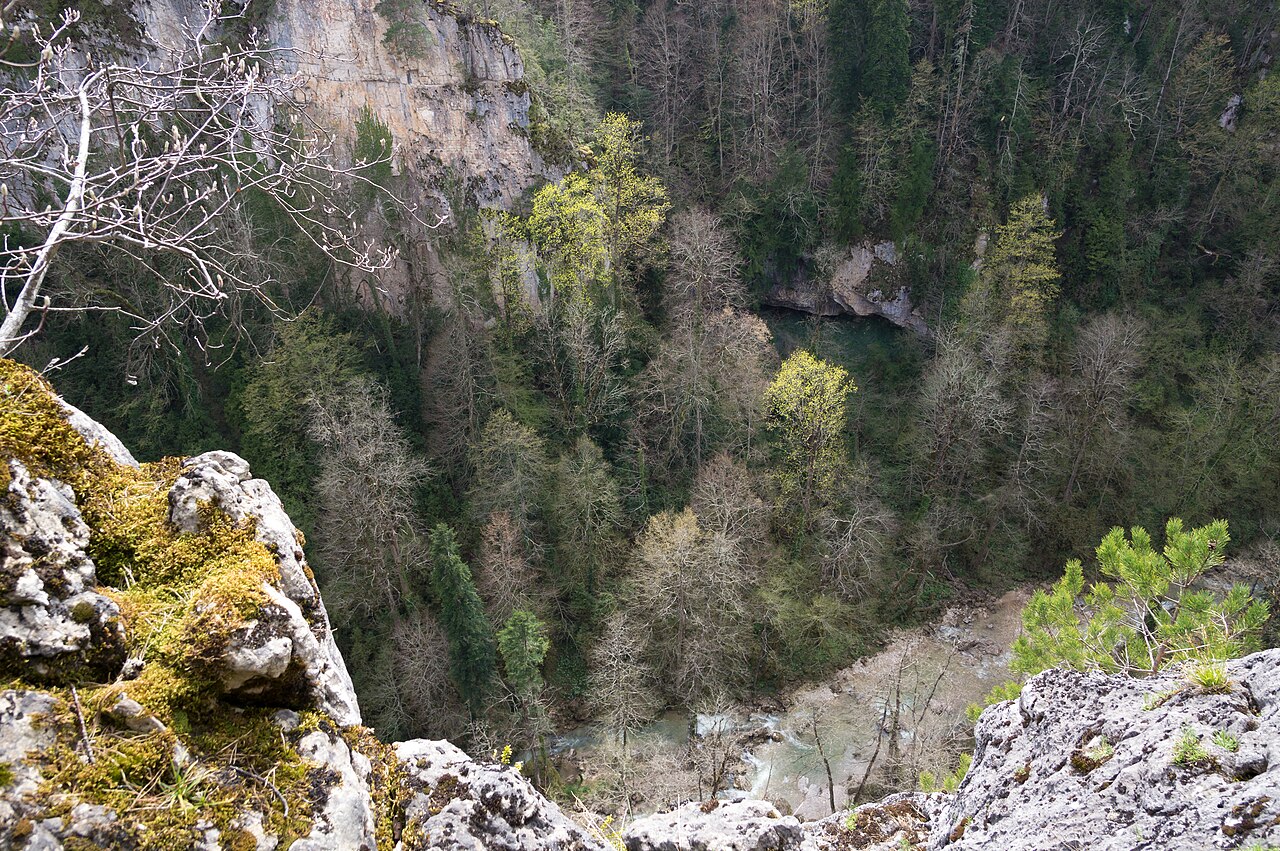
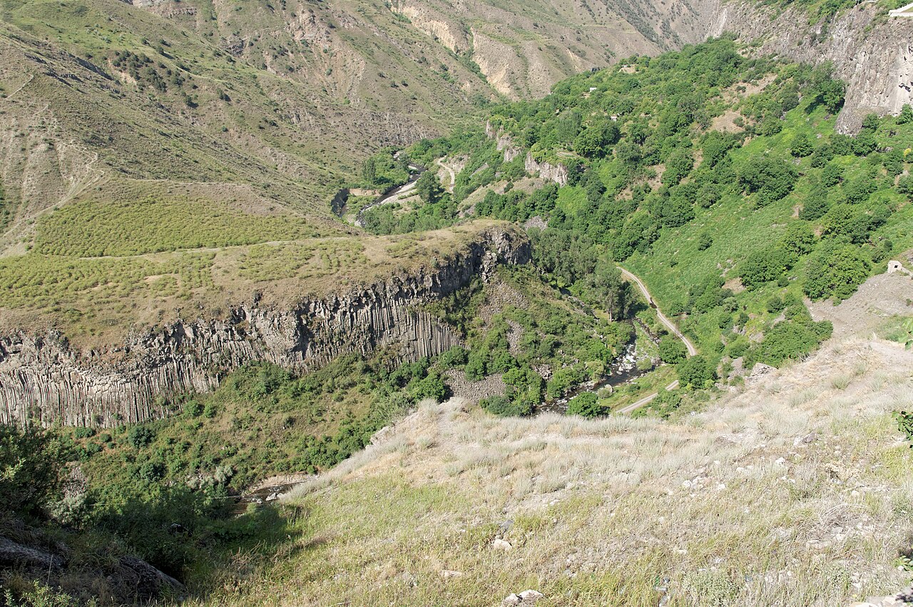
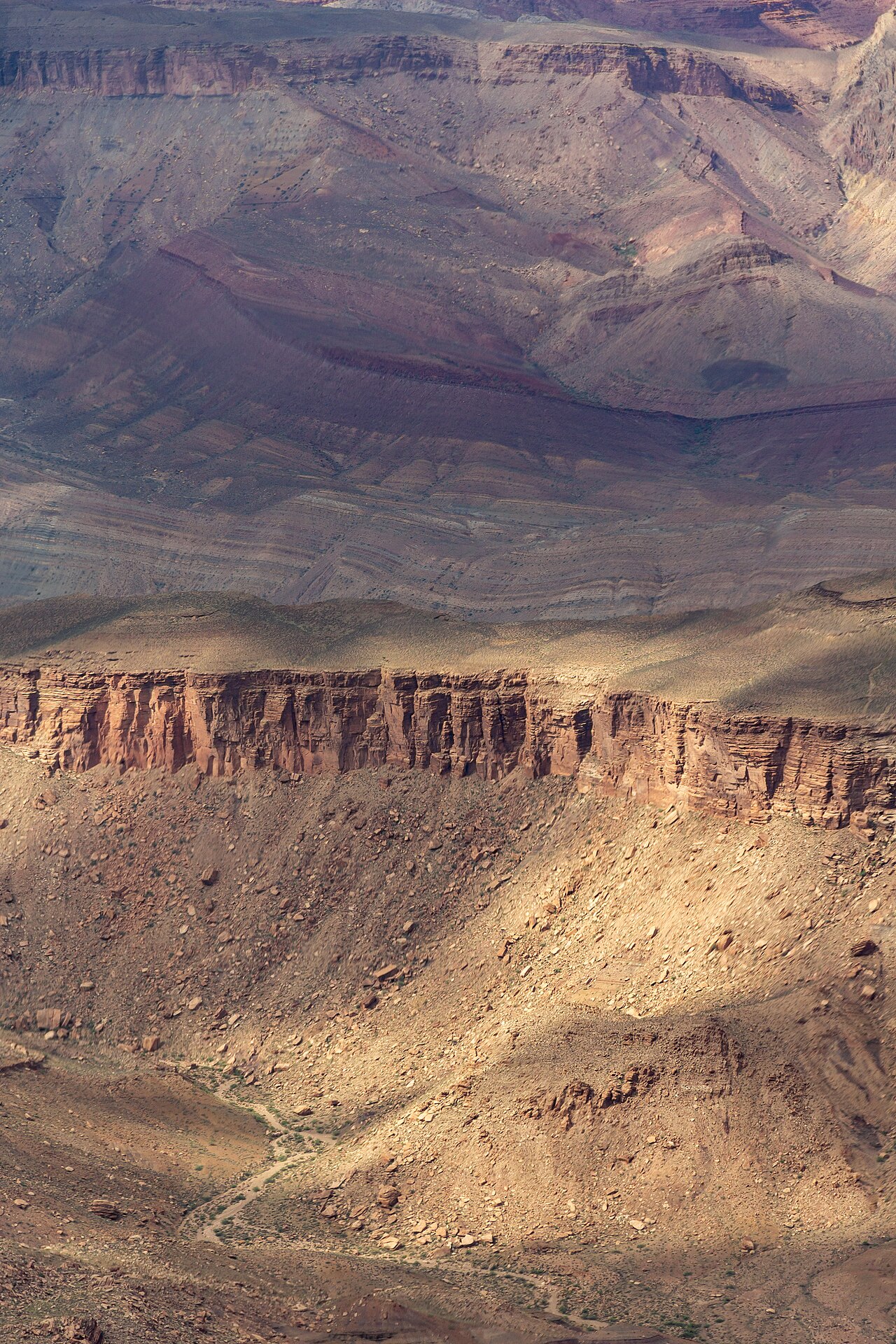
A canyon, gorge, or chasm is a deep cleft between escarpments or cliffs resulting from weathering and the erosive activity of a river over geologic time scales. Canyons form when a river's headwaters and estuary are at significantly different elevations, particularly through regions where softer rock layers are intermingled with harder layers. They are much more common in arid areas, where physical weathering has a more localized effect, and can also form through the collapse of cave systems in limestone rock.
- formation_process
- Erosion from plateau or table-land level
- common_locations
- Arid areas, limestone regions, mountains
- types
- Box canyon, slot canyon, submarine canyon
Lore & Background
The word 'canyon' is Spanish in origin (cañón), with the same meaning. It is generally used in North America, while 'gorge' and 'ravine' (French in origin) are used in Europe and Oceania. In the United States, place names tend to use 'canyon' in the southwest and 'gorge' in the northeast. In Canada, a gorge is usually narrow while a ravine is more open and often wooded. The military-derived word 'defile' is occasionally used in the United Kingdom, and in South Africa, 'kloof' is used along with 'canyon' and 'gorge'.
Reader's Guide
Canyons are significant as natural features shaped by long-term erosion, often exposing resistant rock layers such as sandstone or granite. They are more common in arid regions due to localized physical weathering, including frost wedging. Submarine canyons on the continental slope are formed by turbidity currents and landslides, distinct from land canyons. The largest canyons are defined imprecisely by depth, length, or area; contenders include the Yarlung Tsangpo Grand Canyon and Kali Gandaki Gorge for depth, and Greenland's Grand Canyon for length. Culturally, canyons like Africa's Olduvai Gorge hold evidence of archaic humans, while in the southwestern United States, they contain cliff-dwellings built by the ancient Pueblo people. Notable examples worldwide include the Grand Canyon in Arizona, Fish River Canyon in Namibia, and Tara River Canyon in Europe.
Did You Know?
- Canyons are much more common in arid areas than in wet areas because physical weathering has a more localized effect in arid zones.
- The word 'canyon' is Spanish in origin (cañón), while 'gorge' and 'ravine' are French in origin.
- Submarine canyons on the continental slope are thought to be formed by turbidity currents and landslides, unlike land canyons.
- The Capertee Valley in Australia is 1 km wider than the Grand Canyon, making it the widest canyon in the world.
Classification Among Earth's Surface Features
Canyons occupy a specific tier within the broader taxonomy of landforms. They are classified as minor landforms alongside basins, buttes, and valleys, sitting beneath the four major categories—hills, mountains, plains, and plateaus—that dominate Earth's solid surface. Like all landforms, canyons are defined by characteristic physical attributes including elevation, slope, orientation, structural stratification, rock exposure, and soil composition. They may be entirely natural in origin or shaped by anthropogenic activity. Together with other features, canyons contribute to a given terrain, and their arrangement within the landscape constitutes what geographers call topography. Notably, the terminology used to describe canyons is not limited to Earth; similar surface features appear on all terrestrial planets, making the concept applicable across the solar system and beyond.
Forces That Carve and Shape
The creation and modification of canyons are driven by a range of geological and biological processes. Tectonic plate movements beneath Earth's crust can push up hills and mountains, setting the stage for subsequent erosional forces to carve through the landscape. Erosion and deposition—whether natural or accelerated by human activity—are among the key factors that generate and reshape landforms over time. Biological agents also play a role in shaping surface features; for instance, vegetation influences the development of dune systems and salt marshes, while corals and algae contribute to reef formation. While canyons themselves are not man-made features like canals or ports, they exist within a dynamic system where multiple interacting forces determine their form. The interplay of these processes means that no canyon is static; it remains continuously subject to change by the same forces that originally built it.
Scale, Hierarchy, and the Language of Terrain
Canyons exist within a nested hierarchy of landform classes. At the highest order, continents and oceans represent the largest surface divisions, while canyons function as elements within these larger structures. Specific parts of a canyon—such as channels, ridges, passes, or pools—can be identified and systematically defined as generic landform elements. The vertical dimension of the land surface, known as terrain or relief, is what topography studies; when that relief extends underwater, the term bathymetry applies. Elementary landforms, the smallest homogeneous segments of surface, are bounded by lines of discontinuity and possess relatively uniform morphometric properties. A canyon, like a plateau or hill, can be observed at vastly different scales, from a few hundred meters to hundreds of kilometers, meaning its spatial distribution is inherently scale-dependent. In cartography, techniques such as contour lines and triangulated irregular networks are employed to represent this relief on maps.
Mapping the Invisible and Studying the Distant
The scientific discipline dedicated to understanding landforms, including canyons, is geomorphology. In recent decades, the way researchers extract and analyze landform data has transformed dramatically. Digital elevation models, gathered by modern satellites and stereoscopic aerial surveillance cameras, now allow automated techniques to identify and delineate features like canyons from raw data. The most detailed elevation datasets available are produced through LIDAR measurements, capturing surface geometry with extraordinary precision. Before these advances, compiling such information demanded enormous amounts of manual labor and significant expense. Furthermore, the vocabulary and frameworks developed for terrestrial canyons extend to planetary science: mountains, valleys, and other features described in Earth-based geomorphology are recognized on all terrestrial planets. This universality underscores that the principles governing a canyon on Earth are the same principles at work across the solar system.
Gallery
Frequently Asked Questions
What exactly is a canyon?
A canyon is a deep, narrow gap carved between steep cliff faces, created over millions of years as a river cuts downward through rock layers. It is essentially a dramatic landform where water erosion has sculpted the landscape into a pronounced cleft.
How does a canyon actually form?
Canyons develop when a river flows between two very different elevations, steadily eroding softer rock layers while harder layers resist and create the steep walls. In arid regions, physical weathering concentrates this carving effect, and in limestone areas, the collapse of underground cave systems can also produce canyon-like features.
Where are canyons most commonly found?
Arid and semi-arid environments are the most typical settings because dry conditions make physical weathering more localized and intense. They also appear in mountainous regions and limestone areas where cave collapse can shape the landscape.
What are the main types of canyons?
Geologists generally classify them into box canyons (broad, steep-walled), slot canyons (narrow, deep channels), and submarine canyons (underwater extensions on the ocean floor).
More in Geology And Landforms 1-17
Spotted an error? Know more?
This is a living reference — every entry is fact-audited, and reader corrections feed straight into our audit queue. Suggest an edit · See this site's audit record